
What is it?
You can apply it to your work in Topography, Geodesy, Architecture, and Archaeology.
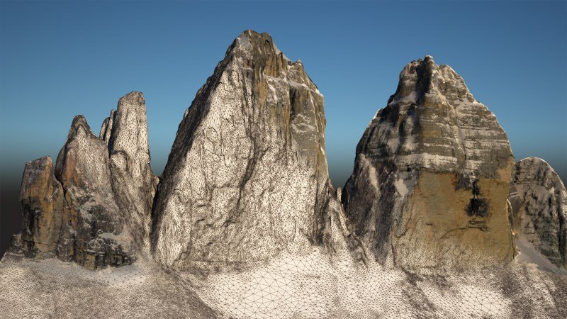
Use your aerial photos, from a camera or smartphone, to turn them into 3D models.
Click here for more information.
You can apply it to your work in Topography, Geodesy, Architecture, and Archaeology.
Use your aerial photos, from a camera or smartphone, to turn them into 3D models.
Click here for more information.