DIGICORP CIVIL Design is an add-on for Autodesk AutoCAD and Bricsys BricsCAD for the design and quantity takeoff of civil works: essential for technicians.

DIGICORP CIVIL Design is an add-on for Autodesk AutoCAD and Bricsys BricsCAD for the design and quantity takeoff of civil works: essential for technicians.
Try nowWhat is CIVIL Design?
There are many types of interventions on the territory: CIVIL Design offers different configurations, called "solutions", tailored to address different design topics.
You can access CIVIL Design features through CAD&Pillar software, which already has the OEM engine integrated and is compatible with AutoCAD 2024.
The new release 14 is now available!
Design by drawing—now with BIM too—beyond every obstacle.
Learn moreWatersheds
E' la soluzione di CIVIL Design per lo studio idrologico-idraulico dei bacini idrografici.
Aqueducts
E' la soluzione per progettare, calcolare e verificare reti in pressione direttamente in ambiente AutoCAD. Ti permette di interfacciarto il motore di calcolo EPANET.

Sewers and drainage networks
E' la soluzione che aiuta a gestire le reti di fognatura e di drenaggio
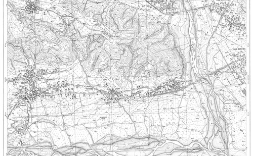
Raster
La soluzione Raster è stata studiata per permettere ai clienti di CIVIL Design di potenziare la gestione delle immagini raster in AutoCAD. Nei progetti di opere sul territorio, infatti, c'è sempre la necessità di utilizzare cartografie raster, come Carta Tecnica Regionale, ortofoto, foto satellitari o mappe catastali.
Quantity Sections
This is the CIVIL Design solution that allows you to draw quantity sections, annotate them and calculate areas and volumes. An essential tool for design and for managing earthworks quantity accounting.
Profiles
It is the solution that includes all the functions required to design and draw profiles for any type of infrastructure. Thanks to its flexibility and the possibility of managing an unlimited number of polylines and sections, it can be used for sewer profiles, aqueducts, and technological utility lines in general.
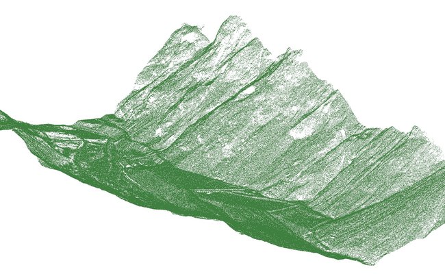
Point clouds
È l'insieme delle funzionalità di CIVIL Design che permettono di usare in AutoCAD nuvole di punti da laserscan e ottenere sezioni e profili.
System requirements
Software and hardware requirements are the same as the full version of Autodesk AutoCAD© or Bricsys BricsCAD for the operating systems they support.

Don't have AutoCAD or BricsCAD?
You can access CIVIL Design features through CAD&Pillar 10.0 software, which already has the OEM engine integrated and is compatible with AutoCAD 2024.
Digicorp Ingegneria s.r.l. YouTube Channel
Production and sales of software for the design and quantity takeoff of infrastructure (roads, railways, hydraulic works, topography). Technical design and consultancy services.
WatchFAQ
Do you need help?
If you have any questions about the software, don't hesitate to contact us. We would love to help you without hesitation.
Monday - Friday :
08:30-13:00 e 14:30-18:00
tel:
0432 511556